
Where Mount Everest is
Mount Everest stands on the border between Nepal in the south and the Tibet Autonomous Region of China in the north. Most visitors see it from one side or the other, and the two sides work very differently. The south side has the Khumbu valley and the villages of the trekking region. The north side has the Rongbuk valley and Advanced Base Camp.
The image at the top is a 3D map of the mountain and its neighbouring peaks. Use it to understand the layout, not to navigate. A schematic route line on any map is not a GPS track and must never replace a guide, a current map and local advice.
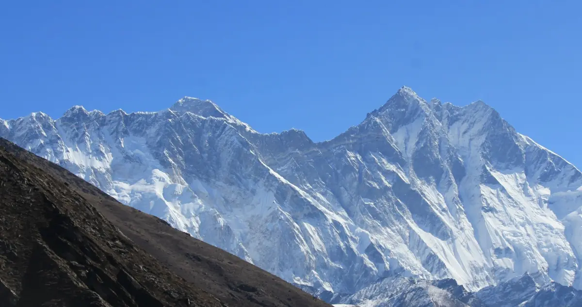
The neighbours
Peaks that appear in almost every photo of Everest.
Lhotse
Lhotse stands next to Everest. The South Col is the pass between the two. On the south route climbers cross the Lhotse Face on their way up to that pass.
Nuptse
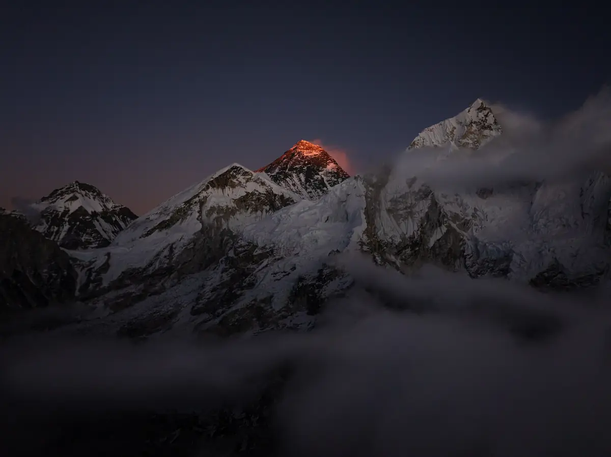
Nuptse and Lhotse are the peaks that the national park description names in the Sagarmatha area, alongside Everest. Photos from the south often show the Nuptse ridge, Everest and Lhotse together.
Villages and viewpoints
Lukla, Namche, Kala Patthar, Gokyo and the Nepal Base Camp are orientation points on the south side. Detailed maps for them are on our sister site, see the guide to Kala Patthar. A short, easy way to look at the mountain is the Everest View Trek.
Mount Everest flights and tours
See the mountain and its neighbours from the air or on the ground, with live prices and availability.
The two classic routes compared
Camp heights are examples from single operators. Other programmes use different numbers.
| Point | South route, Nepal | North route, Tibet |
|---|---|---|
| Approach | Khumbu Icefall, Western Cwm | Rongbuk and East Rongbuk, Advanced Base Camp |
| Key passes and faces | Lhotse Face, South Col | North Col |
| Upper ridge | Southeast ridge | North ridge and northeast ridge with the Three Steps |
| Camp I | 5,971 m | – |
| Camp II / Advanced Base Camp | 6,492 m | 6,492 m |
| North Col | – | 7,010 m |
| Higher camps | Camp III 7,162 m, Camp IV at the South Col | Camp II 7,544 m, Camp III 8,138 m |
The camp heights come from one operator for each side. They are not fixed official points. Nepal permits and the 2026 situation on the Tibet side are covered on the pages about costs and Everest from Tibet.
How to read the map
Four things to look for on any map of the mountain.
The border line
The summit sits on the Nepal and China border. The same mountain therefore has two approaches, one from each country, and a climber or visitor needs the rules of the side they use.
The South Col
This pass between Everest and Lhotse is the place where the south route turns from the Lhotse Face onto the southeast ridge. It is the site of Camp IV in the south route example above.
The North Col
On the north side the route climbs to the North Col at 7,010 m in the operator example. From there it follows the north ridge and the northeast ridge, which includes the Three Steps.
The lines are schematic
Route lines on a map are a simplification. Real routes shift with the state of the ice, the fixed ropes and the weather, and operators place camps differently. Use the map to see the layout and your operator for the real plan.
Protected areas on both sides
On the Nepal side the mountain lies in Sagarmatha National Park, a UNESCO World Heritage Site since 1979. On the Chinese side the protected area has the name Mount Qomolangma National Nature Reserve. These are two separate areas with their own rules. Do not treat them as one cross-border park.
China's environment ministry reported in 2019 that ordinary tourists were banned above the Rongbuk monastery, at about 5,000 m at that time. Tourist camps and mountaineers' camps are therefore different places. Details for visitors are on our page about the Tibet side, and the Tibet Base Camp has its own page at the Everest Base Camp guide to Tibet.
How the seasons change conditions on both sides is covered on the weather page.
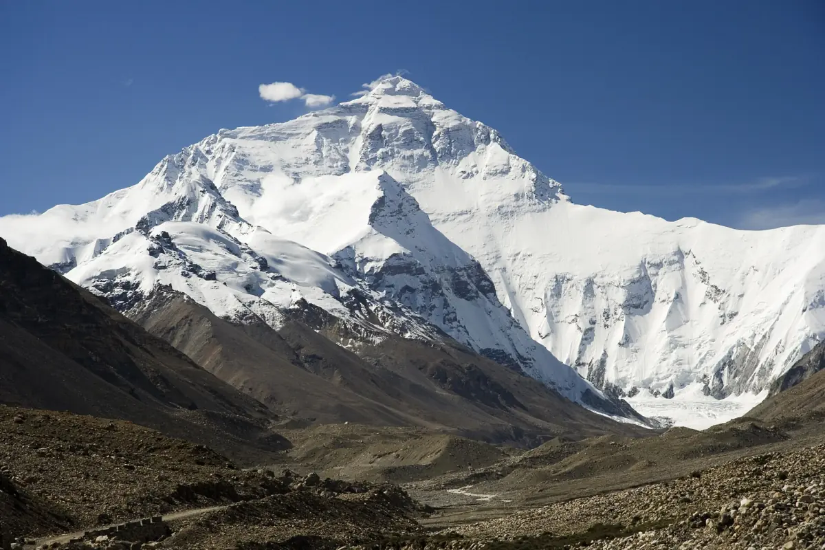
More on the mountain
Pages that explain what the map shows.
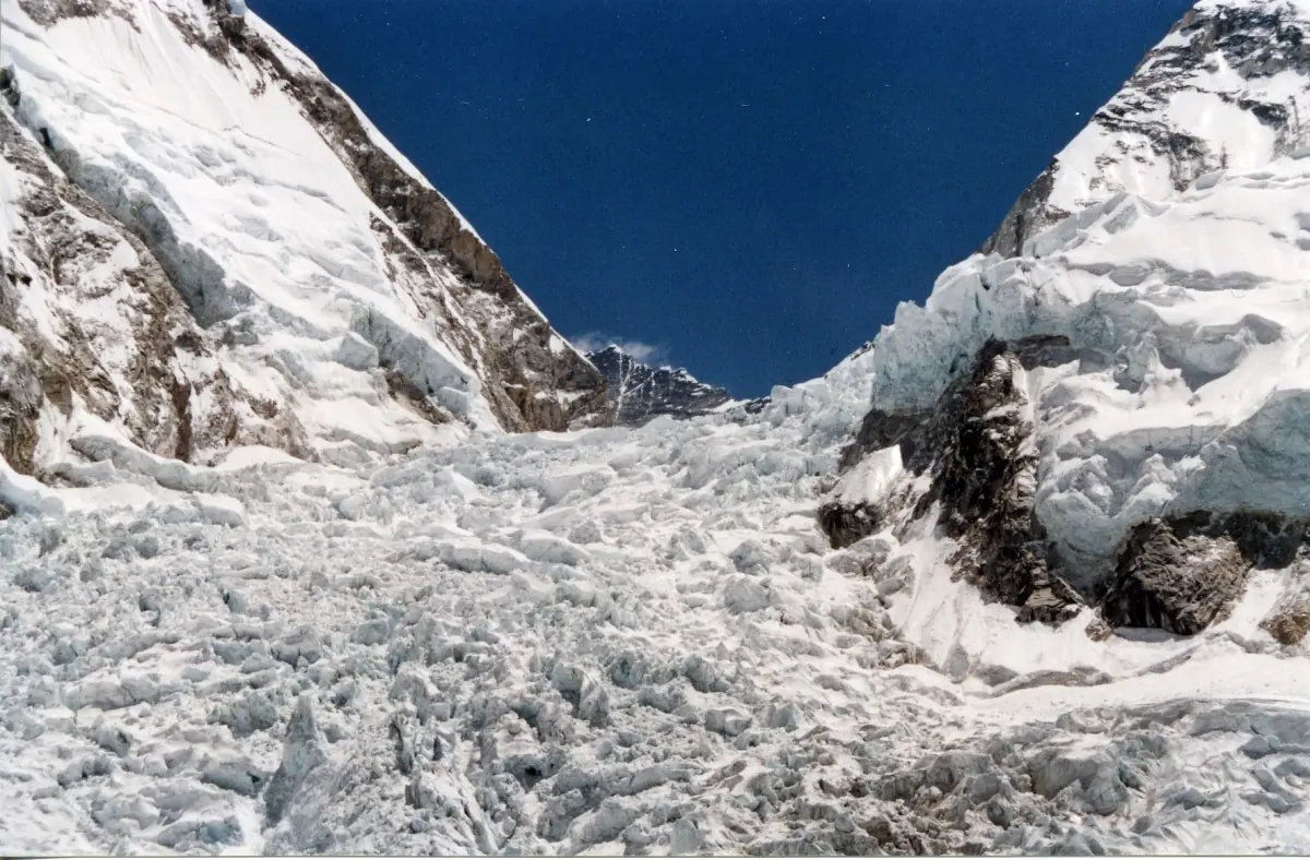
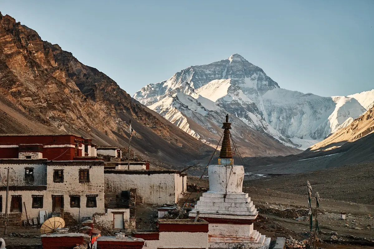
Mount Everest map: frequently asked questions
Where is Mount Everest on the map?
On the border between Nepal and China. Nepal lies to the south and the Tibet Autonomous Region of China to the north.
Which peak is next to Everest?
Lhotse, joined to Everest by the South Col. Nuptse is the other well known neighbour and appears in many photos.
How does the south route run?
From the Khumbu Icefall through the Western Cwm and up the Lhotse Face to the South Col, then along the southeast ridge to the summit.
How does the north route run?
From the Rongbuk valley to Advanced Base Camp, up to the North Col, along the north ridge and the northeast ridge with the Three Steps to the summit.
Can I use this map for navigation?
No. The map and the route descriptions explain the layout. They are not a GPS track, and mountain routes change with snow and ice.