
The official height of Mount Everest
The height you can quote is 8,848.86 m (about 29,032 ft). Nepal and China announced it together on 8 December 2020. It is the height of Mount Everest above sea level, measured to the snow surface at the top.
Guidebooks and websites still give 8,848 m, 8,850 m or something close to them. This page explains where the number comes from and how to read the older ones. For the route up the mountain, see climbing Mount Everest.
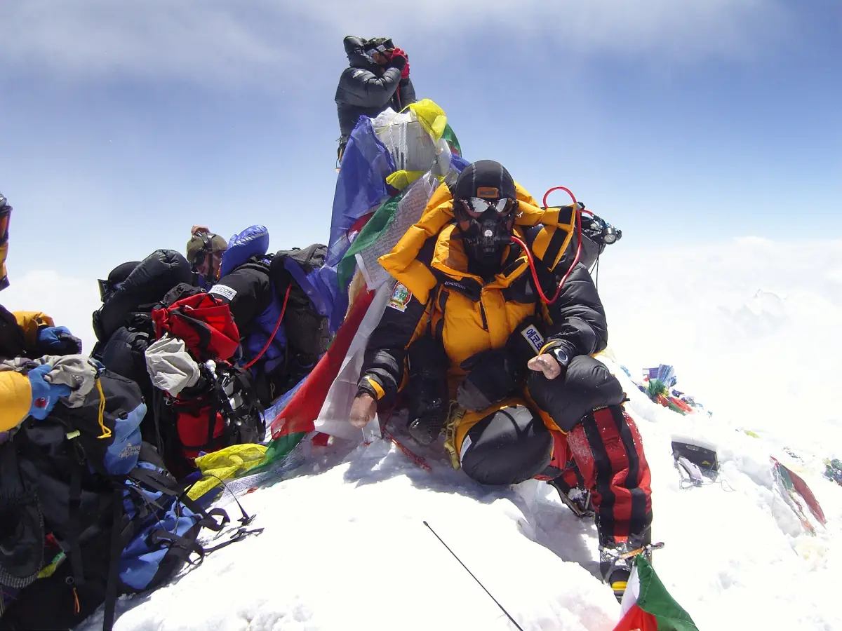
How the height was measured
Two national teams, two seasons, one agreed value.
Nepal, 2019
Nepal's team reached the summit on 22 May 2019. It used satellite positioning equipment (GNSS, which includes GPS) and ground-penetrating radar at the top.
China, 2020
China's team measured on 27 May 2020. The official review of the campaign lists 150 minutes of measuring work at the summit that day.
One value, two campaigns
The joint figure of 2020 does not mean both teams measured at the same time. Each team worked in its own season, and the two countries then announced a common result.
The announcement
The value was presented jointly on 8 December 2020, and a press conference at the Chinese embassy followed on 9 December.
See Mount Everest for yourself
Mountain flights from Kathmandu, helicopter trips and short treks that bring you close to the 8,848.86 m summit, with live prices and availability.
Why older numbers differ
The same mountain appears with several heights. Most of them are older figures.
| Figure | What it is | How to use it |
|---|---|---|
| 8,848.86 m | The joint figure of Nepal and China, announced 8 December 2020 | Quote this one |
| 8,848 m | An earlier figure, still listed in some places | Not a new measurement |
| 8,850 m | A rounded older figure, still on some route pages | Not a new measurement |
The joint value refers to the snow surface at the top. An older number may have been taken to a different reference, so you cannot compare it directly. Do not read growth into small gaps between old numbers. A difference between two historic figures does not show that the mountain rose by exactly that amount.
How high the camps sit below the summit
The numbers below come from single expedition programs, not from fixed official points.
| Level | South Col route (Nepal) | North Ridge route (Tibet) |
|---|---|---|
| Advanced Base Camp | – | 6,492 m |
| Camp I | 5,971 m | – |
| North Col | – | 7,010 m |
| Camp II | 6,492 m | 7,544 m |
| Camp III | 7,162 m | 8,138 m |
| Summit | 8,848.86 m | 8,848.86 m |
Other programs can use different heights and camp numbers. The South Col, between Everest and Lhotse, holds Camp IV on the Nepal side. Both routes are explained on the climbing page.
One mountain, several names
You will meet all of these on maps and in articles.
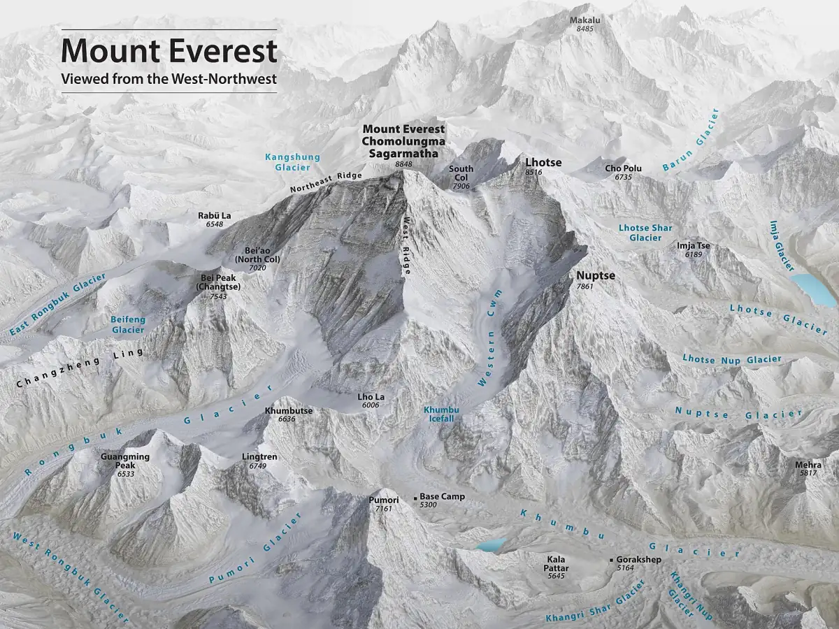
Mount Everest is called Sagarmatha in Nepal and Chomolungma in Tibetan. Qomolangma is a spelling used in Chinese official publications. All of them mean the same peak. The summit sits on the border, with the south side in Nepal and the north side in the Tibet Autonomous Region of China. More names, dates and records are on the facts page, and the map page shows where the neighboring peaks stand.
The walking routes to the foot of the mountain climb to a fraction of this height. For the altitudes you reach on the way and how to handle them, see the guide to altitude on the Base Camp trek.
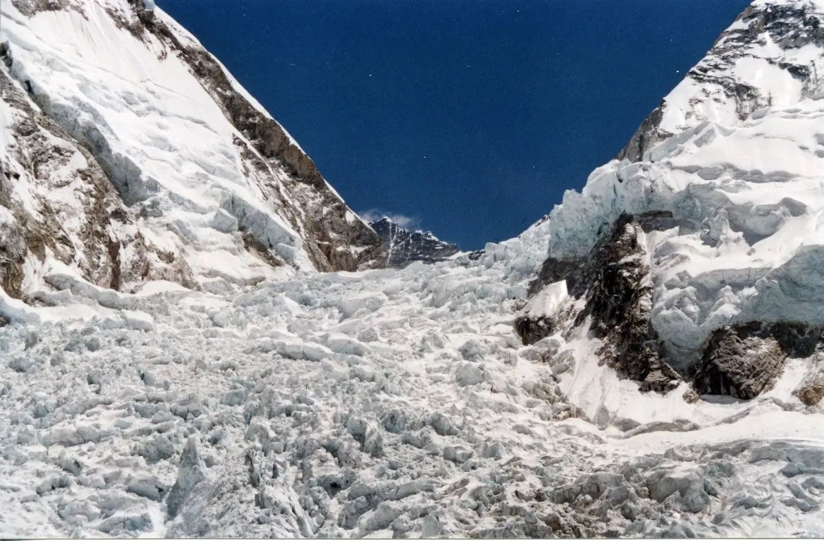
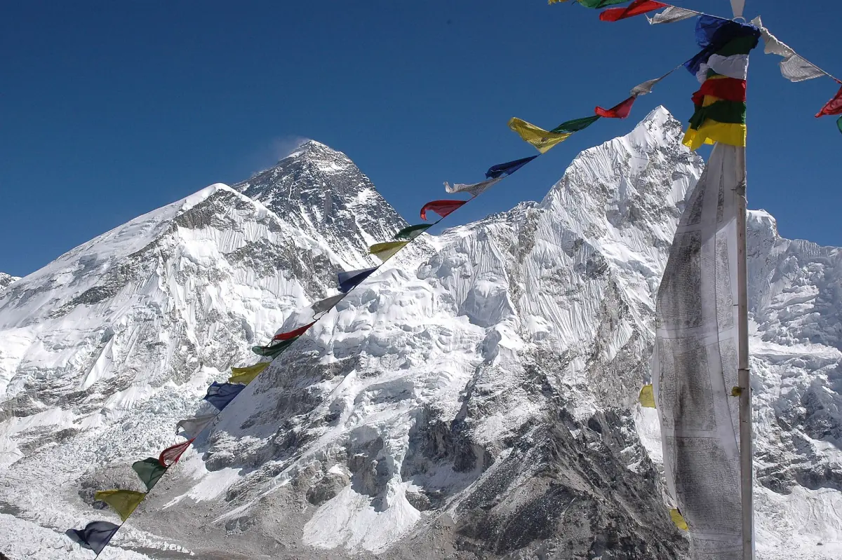
Mount Everest height: frequently asked questions
How tall is Mount Everest in feet?
8,848.86 m is about 29,032 ft. This is the figure Nepal and China announced together on 8 December 2020.
Is the height measured to rock or snow?
The joint value refers to the snow surface at the summit. Earlier figures may use another reference, so do not compare them directly.
Who measured Mount Everest in 2020?
Two teams. Nepal's team reached the summit on 22 May 2019, and China's team measured on 27 May 2020. The two countries then announced one result together.
Why do some pages still say 8,848 m or 8,850 m?
These are earlier figures that stayed in guidebooks and route descriptions. They are not new measurements of the mountain.
Which countries does Mount Everest border?
The summit lies on the border between Nepal and China. The south side is in Nepal and the north side in the Tibet Autonomous Region. The Tibet page covers the north side.